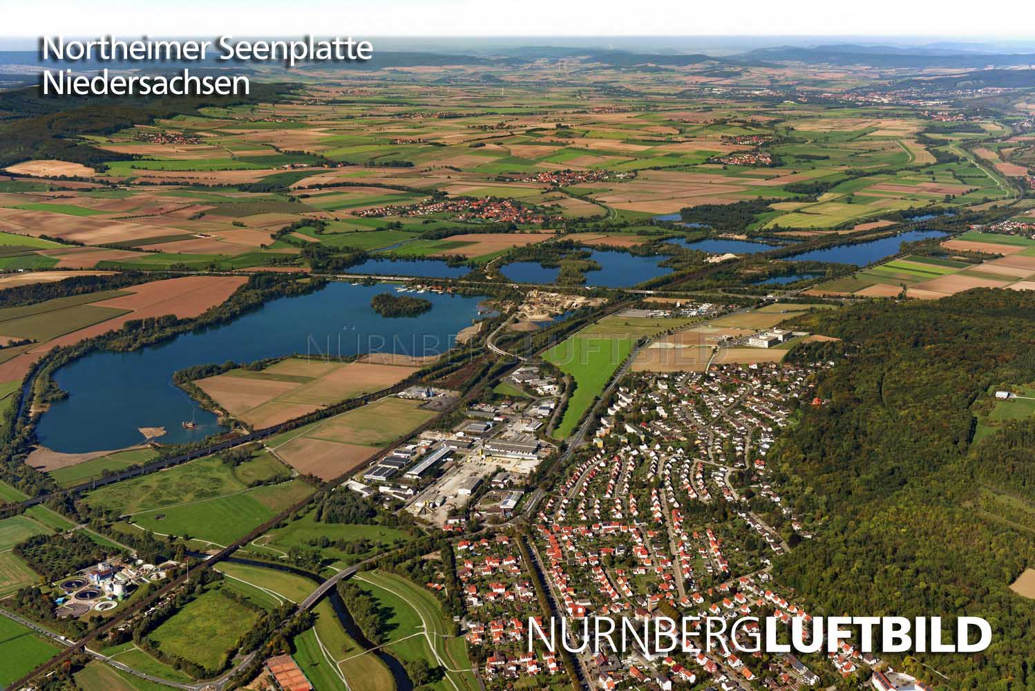
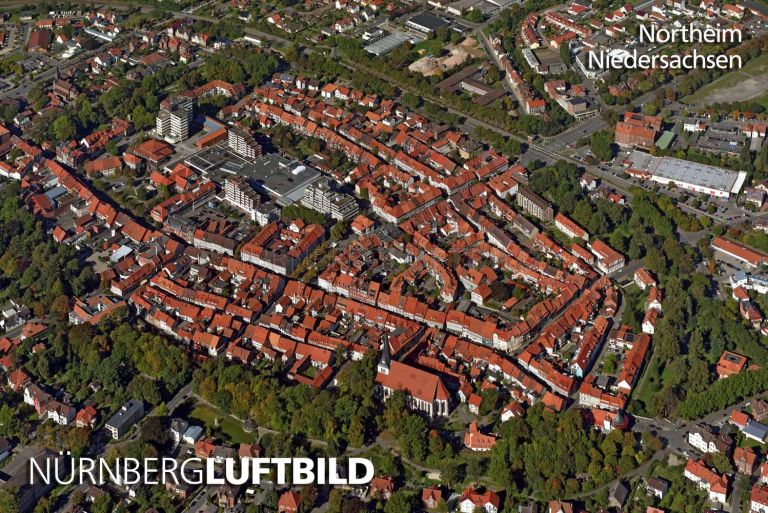
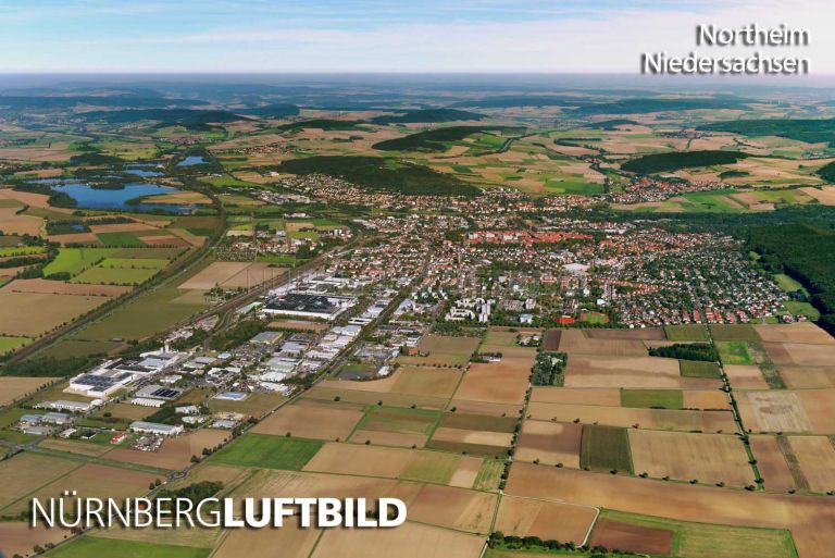
Die meisten kennen sie nur vom Vorbeifahren auf ihrem Weg auf der längsten Autobahn Deutschlands, der A7. Von oben und im Ganzen wird erst das Ausmaß der Gewässer deutlich.
The map is loaded from OpenStreetMap. Your IP address is transmitted to the OpenStreetMap servers.
More images nearby (5 km):
Datenschutz & Cookie-Einstellungen
Wir verwenden Cookies und ähnliche Technologien und binden Inhalte externer Anbieter ein. Dabei können Daten wie Ihre IP-Adresse an diese Anbieter übertragen werden. Technisch notwendige Funktionen sind immer aktiv. Alles andere nutzen wir nur mit Ihrer Einwilligung. Diese ist freiwillig und kann jederzeit geändert oder widerrufen werden. Mehr Informationen finden Sie in unserer Datenschutzerklärung.
Diese Cookies sind für den Betrieb der Website erforderlich und können nicht deaktiviert werden.
Externe Medien
Lädt Inhalte von Drittanbietern. Beim Laden wird Ihre IP-Adresse an den jeweiligen Anbieter übertragen, der eigene Cookies setzen kann. Ohne Einwilligung werden diese Inhalte nicht angezeigt.