


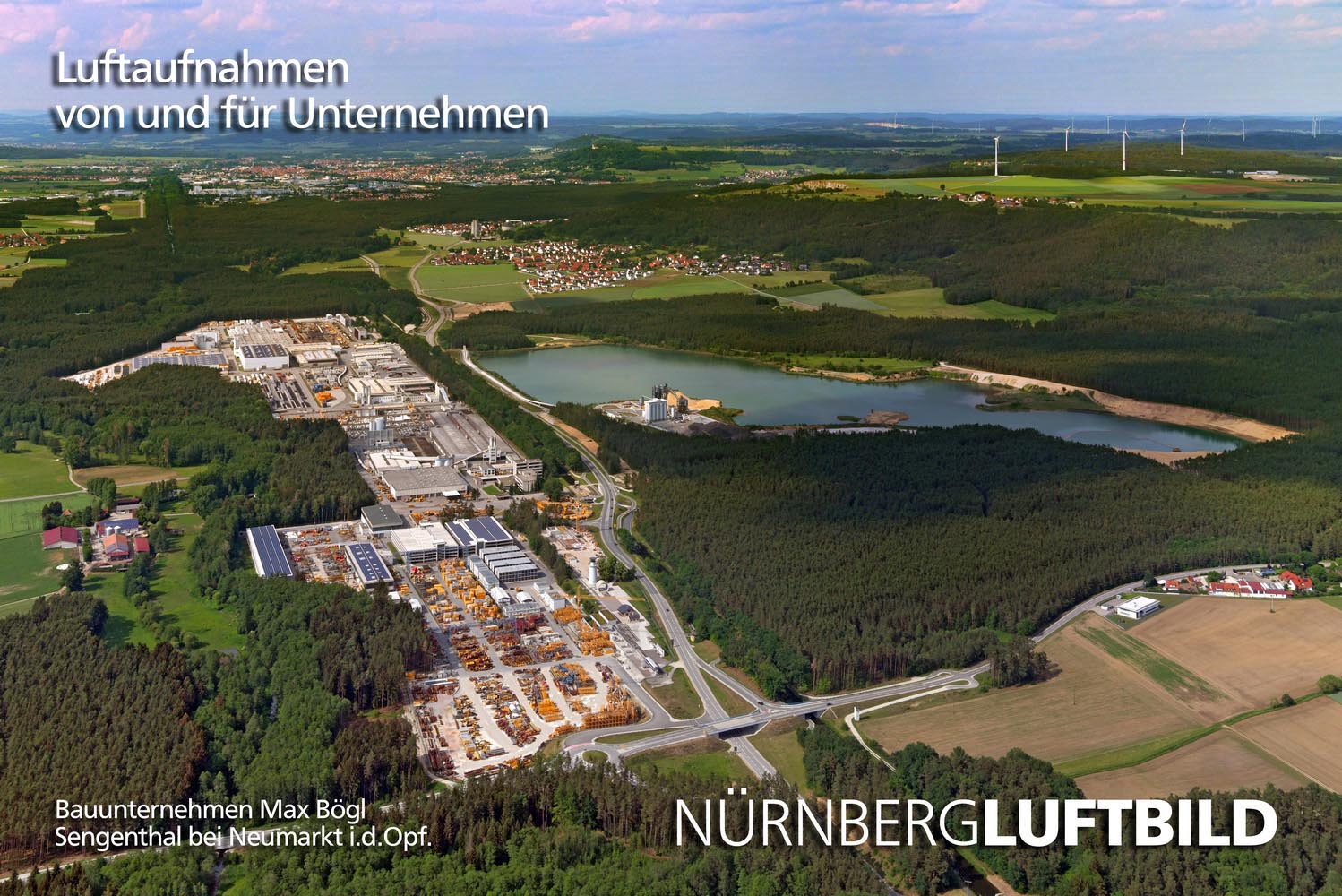

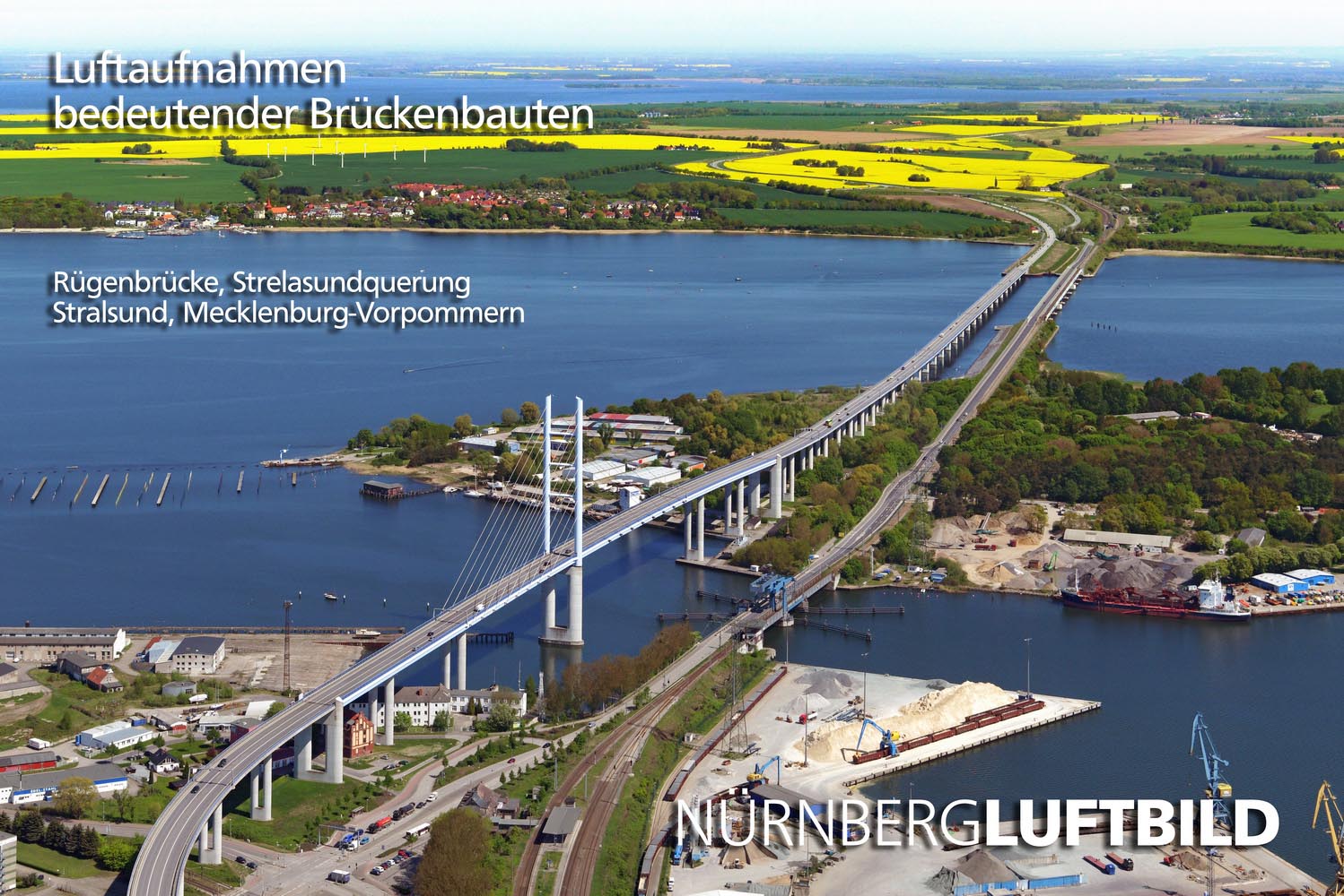
Together with our pilots and other employees I create professional aerial photos, drone aerial photos and videos for urban planning, marketing and the economic developments of large and small cities. Also for press reports and public relations, trade fair presentations, catalogues and brochures. I excel in visual creativity for company annual reports and infrastructure companies, for the illustration of internet pages, for customer and employee magazines, for "how to find us" maps and much more. Publishers, as well as art and architecture historians, use our recordings for books and calendars. Architects and landscape architects use them as the basis for architectural visualizations, while construction and bridge engineers in local authorities and building authorities use them to document their work before, during and after completion of construction work. For the urban planning and development of numerous cities and municipalities, we monitor the changes of urban development areas and infrastructure from the air. With the aid of pictures on our homepage, I would like to demonstrate how well we can do this.
What I really want to emphasize with our website, is the beauty and diversity of the cities and landscapes over which we fly. The randomness of air-line travel constantly opens new perspectives of such places as, rivers, mountains, coasts, lakes and islands, castles and palaces, parks, sights and nature reserves and everything else that can be discovered from the air. Also of companies, industrial parks or interesting construction sites because they are also our customers.
The more I fly by plane over our country, the more interesting sites, places and objects I discover. A hidden structures suddenly appear, whose charm only becomes visible from a bird's eye view. Many are then worth checking out on the ground, to be looked at in more detail. For anyone who is interested in travelling around Germany, either on foot, by bike or indeed any kind of transport, this website could be a great source of inspiration.
Enjoy leafing through the random program under "View all aerial photos". All pictures are provided with geo-coordinates and can be found on the map. You can also see which other aerial photos are available here in the vicinity and click on them.
Many pictures are provided with texts and both are constantly updated. If you feel like writing a few explanatory lines for an object or site that you know well and for which we haven’t yet offered a text, then we would be pleased to hear from you and would be happy to name you as the author.
I wish all visitors to the homepage a lot of fun with the pictures,
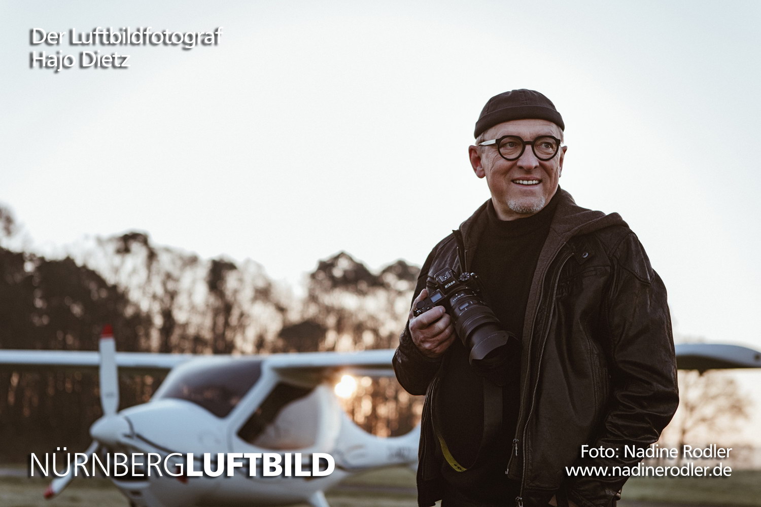
Hajo Dietz